Satlas
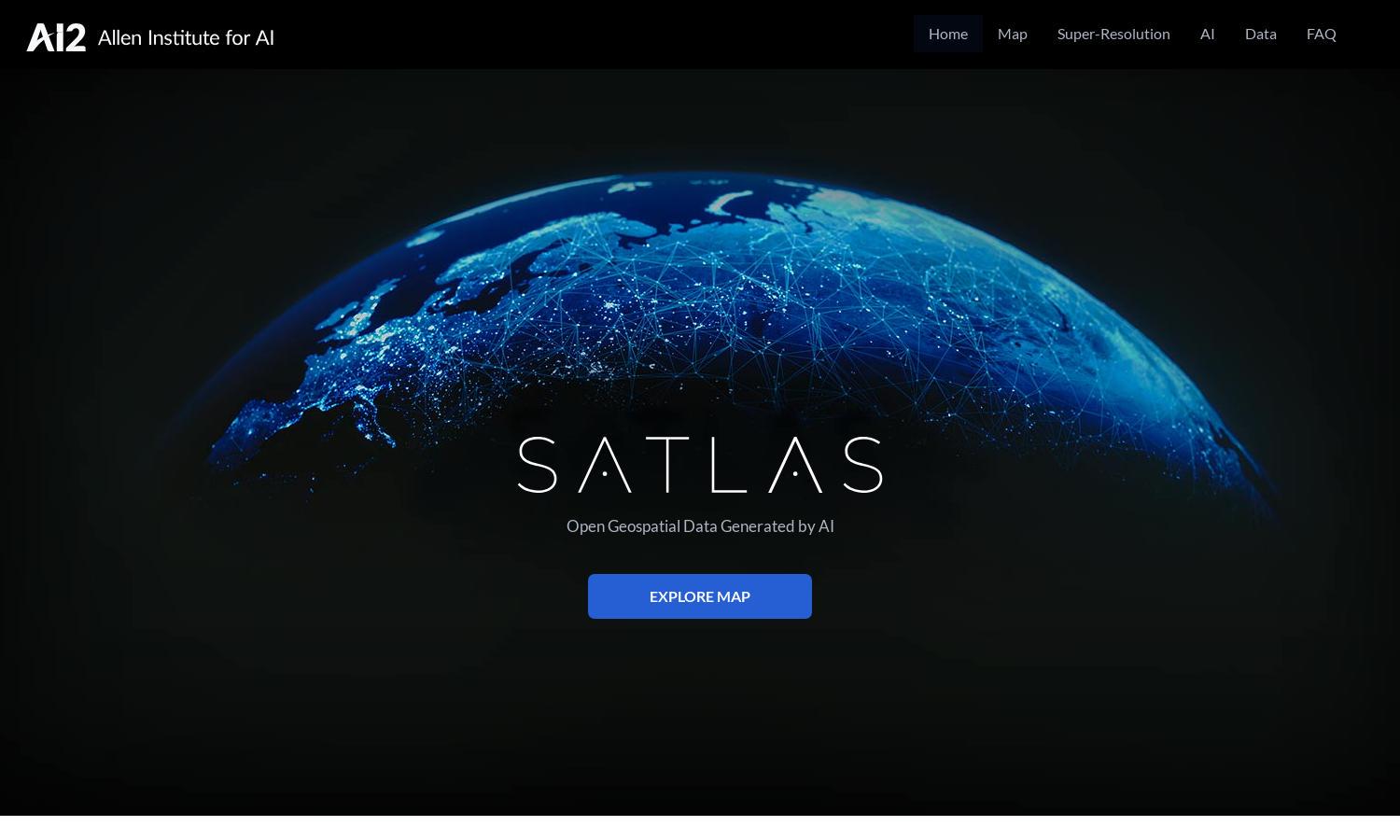
About Satlas
Satlas is a pioneering platform that leverages AI to analyze satellite imagery, revealing vital changes in our environment. Designed for researchers, policymakers, and enthusiasts, it enhances low-resolution data into high-quality visuals, providing insights on climate impact, deforestation, and infrastructure development to inform decision-making.
Satlas offers free access to AI-generated geospatial datasets, allowing users to download data for offline study. No specific subscription tiers are detailed, enhancing accessibility for all users. Utilizing AI models for insights, Satlas presents users with valuable data without any associated costs for exploration.
The user interface of Satlas is designed for intuitive navigation, featuring a clean layout that aids in exploring satellite imagery. Users can seamlessly access tools for enhancing images and analyzing geospatial datasets, ensuring a smooth browsing experience that emphasizes efficiency and ease of use.
How Satlas works
Users begin their journey on Satlas by exploring the homepage, which provides access to various AI-enhanced satellite imagery tools. After sign-up, they can navigate to the map options to view live changes, download geospatial datasets for offline analysis, and utilize unique AI models that improve low-resolution images globally.
Key Features for Satlas
AI-Annotated Satellite Imagery
Satlas revolutionizes environmental monitoring with its AI-annotated satellite imagery, enabling users to visually track changes to the planet. Unique in its approach, this key feature allows researchers and individuals to easily access significant environmental data, fostering a deeper understanding of global changes.
Super-Resolution Enhancement
Super-resolution on Satlas empowers users to enhance low-resolution satellite images to high-quality visuals. This innovative feature showcases fine details previously unnoticed, benefiting researchers and ecologists by allowing them to analyze changes in infrastructures like renewable energy setups and tree cover with great clarity.
Open Geospatial Datasets
Satlas provides open access to its geospatial datasets, promoting transparency and collaboration among users. This feature allows easy download of detailed environmental data for offline analysis, supporting researchers, educators, and policy makers in their quest for comprehensive insights into Earth's changing landscapes.